🧠 GeoAI & ML
What is GeoAI & GeoML?
GeoAI & GeoML is the application of artificial intelligence and machine learning to geospatial data. It is a combination of Geo Data Science and AI/ML.
GeoAI, which combines geospatial data and artificial intelligence (AI) technologies, has a wide range of applications in various fields. Here are some examples:
Urban Planning and Management: GeoAI can help urban planners and managers to monitor and analyze urban environments, predict future growth and demand, and optimize urban development and resource allocation. It can also help in identifying areas prone to natural disasters and plan accordingly.
Agriculture: GeoAI can assist farmers and land managers in making better decisions by providing real-time information about soil moisture, crop health, and weather patterns, which can help in optimizing crop yields and minimizing the use of fertilizers and pesticides.
Environmental Monitoring and Conservation: GeoAI can help in monitoring and predicting changes in the environment, such as deforestation, land use changes, and climate change. It can also assist in identifying and protecting endangered species and habitats.
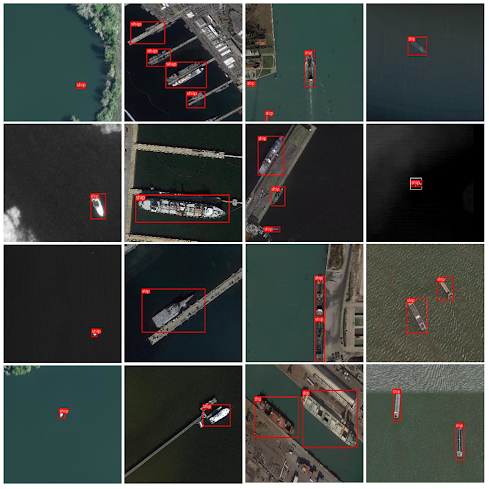
Transportation and Logistics: GeoAI can optimize transportation and logistics operations by analyzing traffic patterns, optimizing routes, and predicting demand. It can also assist in developing autonomous vehicles and drones for last-mile delivery.
Emergency Response: GeoAI can help emergency responders to quickly assess and respond to natural disasters, such as floods, hurricanes, and wildfires. It can also assist in identifying areas that are at high risk of disasters and develop contingency plans accordingly.
In summary, GeoAI has a wide range of applications in various fields, including urban planning and management, agriculture, environmental monitoring and conservation, transportation and logistics, and emergency response.