How to process multispectral satellite imagery
Learn how to process multispectral satellite imagery
How to process multispectral satellite imagery
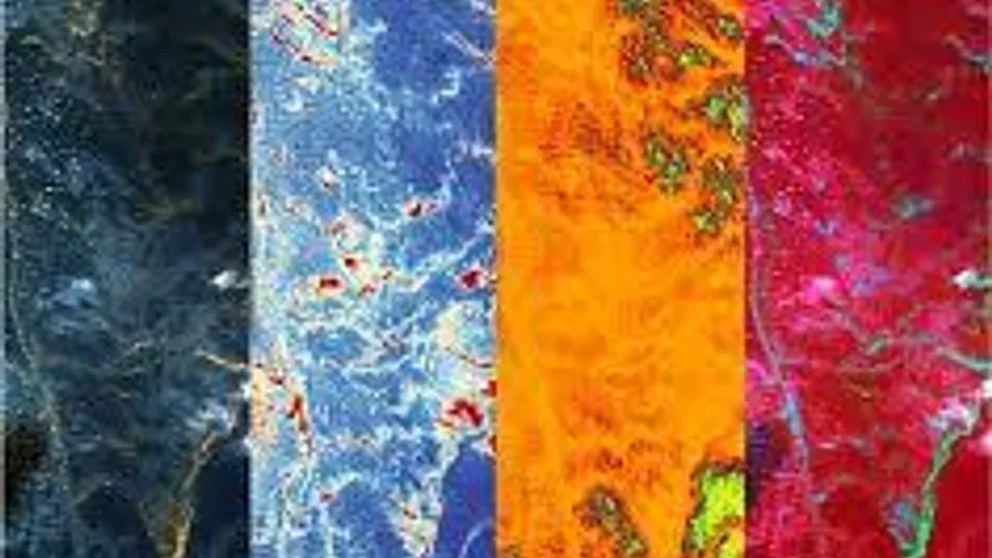
Multispectral satellite imagery is a type of satellite imagery that contains data from multiple spectral bands. This type of imagery is used to extract information about the physical properties of the Earth’s surface, such as vegetation, soil, water, and built-up areas. Multispectral satellite imagery is commonly used in applications like agriculture, forestry, and urban planning.
How to process multispectral satellite imagery using GDAL:
1. Install GDAL:
If you haven’t already installed GDAL, you can download it from the GDAL website or install it using a package manager like Homebrew on macOS or apt-get on Linux. Here’s an example command to install GDAL using Homebrew on macOS:
brew install gdal2. Download the multispectral satellite imagery:
You’ll need to download the multispectral satellite imagery you want to process. You can get this data from a variety of sources, such as the USGS Earth Explorer or the NASA Earth Observations (NEO) platform. Make sure the data you download is in a format that GDAL supports, such as GeoTIFF.
3. Convert the imagery to a format GDAL can use:
Depending on the format of your downloaded imagery, you may need to convert it to a format that GDAL can use. For example, if your imagery is in HDF format, you can use the “gdal_translate” command to convert it to GeoTIFF:
gdal_translate HDF4_SDS:UNKNOWN:"input.hdf":0 output.tifThis command extracts the first subdataset from the HDF file and saves it as a GeoTIFF file called “output.tif”.
4. Check the metadata of the imagery:
Before you begin processing the imagery, it’s a good idea to check the metadata to make sure you know the projection, resolution, and other important information about the imagery. You can use the “gdalinfo” command to view the metadata:
gdalinfo output.tifThis command will print out the metadata of the “output.tif” file to the terminal.
5. Preprocess the imagery:
Depending on the quality and characteristics of the imagery, you may need to preprocess it before you can start using it. For example, you may need to remove any clouds or atmospheric interference, or adjust the brightness and contrast of the image. GDAL provides a range of tools for preprocessing imagery, such as the “gdalwarp” command for reprojecting and resampling images, and the “gdal_calc.py” script for performing mathematical operations on image pixels.
6. Extract the bands you need:
Multispectral satellite imagery usually consists of several bands, each of which represents a different wavelength of light. You may only need certain bands for your analysis or visualization. You can use the “gdal_translate” command to extract specific bands from the imagery:
gdal_translate -b 1 -b 2 -b 3 input.tif output.tifThis command extracts the first three bands from the “input.tif” file and saves them as a new GeoTIFF file called “output.tif”.
7. Visualize the imagery:
Once you have the bands you need, you can use GDAL to visualize the imagery. You can use the “gdal_translate” command to create a PNG or JPEG image from the GeoTIFF file:
gdal_translate -of JPEG -scale -co worldfile=yes input.tif output.jpgThis command creates a JPEG image file called “output.jpg” from the “input.tif” file, with the brightness and contrast scaled to make the image more visible. The “-co worldfile=yes” option creates a world file with the same name as the output file, which contains the georeferencing information for the image.
You can also use other tools like QGIS or ArcGIS to visualize the imagery and perform more complex analysis.